ORBIShttps://orbisreadingatlas.com/read/measuring-sea-level
Science
How is sea level measured?
A rise of a few millimetres a year is built from tide gauges, satellites and a correction for land that moves.
Global · 2 October 2026
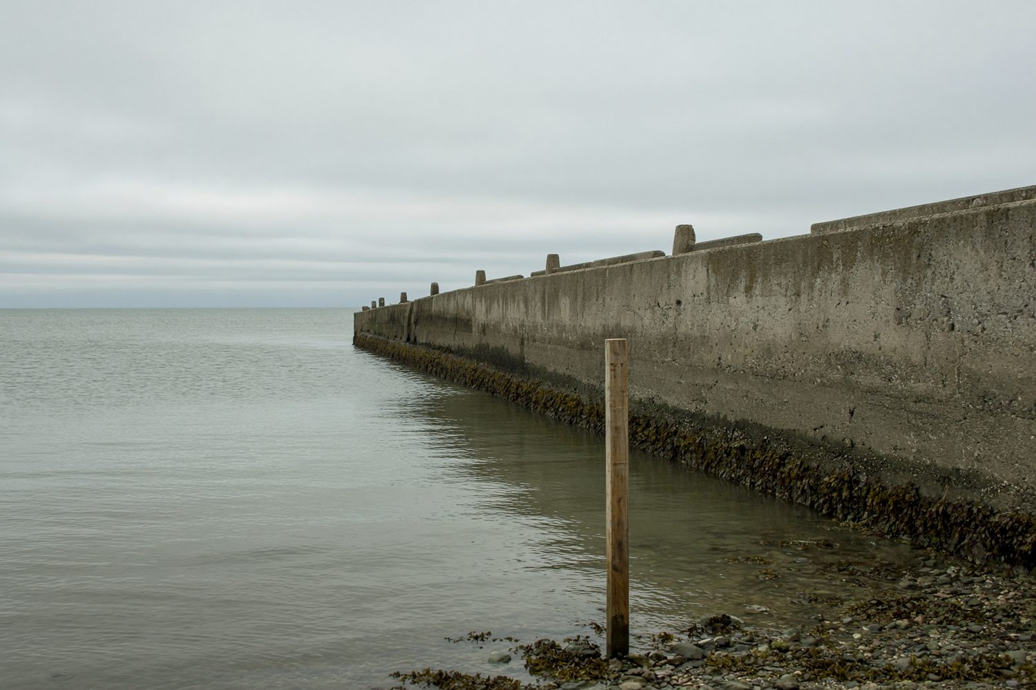
The sea is never still; tides and winds move its surface daily. The oldest tool, the tide gauge, records water height against land, with the Permanent Service for Mean Sea Level collecting such records since 1933.source 1 Yet land moves too, with coastal cities often sinking as groundwater is pumped out, so modern gauges are paired with satellite positioning receivers that measure the movement of the land itself. Since 1992, satellites using radar altimeters have also measured the open ocean directly by timing radar pulses.source 2
Combined, these records reveal a stark truth: according to the IPCC, global mean sea level rose by about 20 centimetres between 1901 and 2018, with the rate accelerating from 1.9 millimetres a year (1971-2006) to 3.7 millimetres (2006-2018).source 3 As warming water expands and melting glaciers add water to the oceans, the fate of coasts is dictated by this relentless, millimetre-by-millimetre advance.
- 1Permanent Service for Mean Sea Level (PSMSL)psmsl.orghttps://psmsl.org/
- 2NASASea Level Change: observations from spacesealevel.nasa.govhttps://sealevel.nasa.gov/
- 3IPCCSixth Assessment Report, Working Group I, Summary for Policymakersipcc.chhttps://www.ipcc.ch/report/ar6/wg1/chapter/summary-for-policymakers/
Related readings
Why the same heat kills more in some places
A heat wave is counted twice: by thermometers, and by the registers of deaths. Plans work on the gap between the two.
Health·3 min read
Who keeps the clock?
Most governments now agree the twice-yearly clock change has outlived its use. They disagree on which hour to keep.
Politics·3 min read
Does migration move voters to the right?
Studies that follow where newcomers actually settled find an effect, but its size and even its direction depend on contact.
Politics·2 min read
Comments
Loading…